As part of our ongoing efforts to embrace cutting-edge technology, this investment reflects our dedication to improving efficiency, accuracy, and safety across our operations in the construction industry.
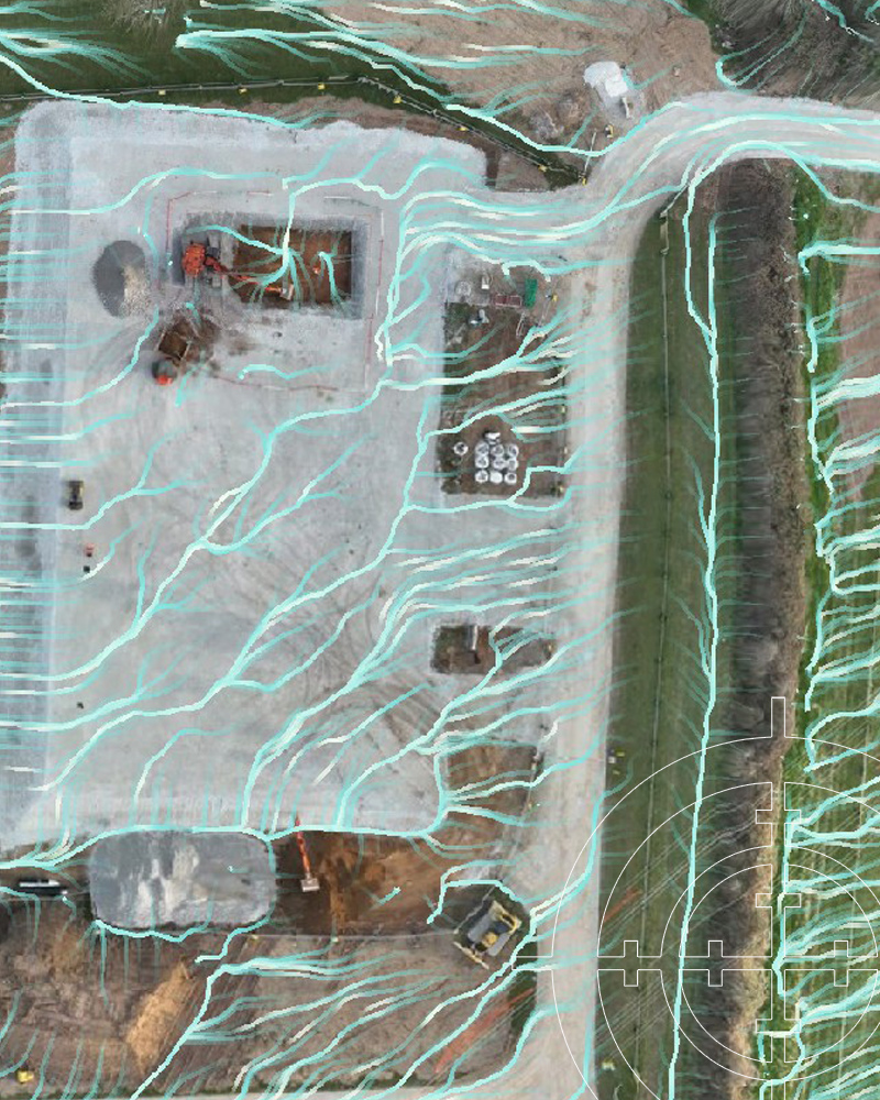
The integration of drone-based data capture allows us to carry out high-resolution aerial surveys with speed and precision. By reducing the need for manual site inspections and enabling rapid data collection, we can provide real-time visuals and detailed topographic information across a wide range of projects, from construction and mining to complex civil engineering works. This approach not only enhances project planning but also supports better decision-making throughout each phase.
When combined with advanced cloud-based analytics, the data captured by our drone systems becomes a powerful tool for delivering actionable insights. From tracking progress and measuring volumes to detecting potential issues early, this technology allows us to offer clients smarter, more efficient survey solutions. It’s all part of our mission to lead with innovation while maintaining the highest standards of service and reliability.